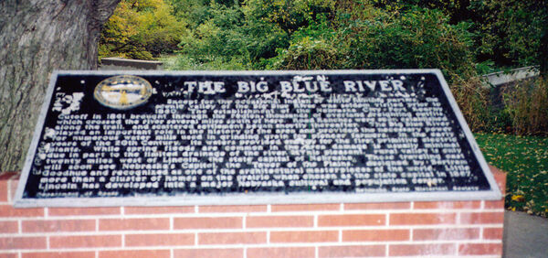
Nebraska Historical Marker: The Big Blue River
Location
2485-2517 Interstate 80, Milford, Seward County, Nebraska
View this marker's location 40.821463, -97.06095
View a map of all Nebraska historical markers, Browse Historical Marker Map
Marker Text
Except for the occasional Indian or white hunting parties, the scenic valley of the Big Blue River was seldom visited prior to 1860. The establishment of the Nebraska City-Fort Kearny Cutoff in 1861 brought through the region thousands of overland freighting outfits, which crossed the river several miles south of here. Road Ranches were soon established along the trail, and scattered settlement began shortly thereafter. The Big Blue River played an important role in the history of the area and provided the necessary power for numerous water mills used in grinding grain for pioneer farmers. In the early years of the 20th Century, its waters provided energy for the first primitive electric plants. While spring floods are common in the area damage is usually minimal due in part to the limited drainage of the river. This pleasant, rural valley is only twenty miles west of Lincoln, the state capital of Nebraska. Those traveling east will soon see Nebraska's Capitol, the "Tower of the Plains," designed by Bertram Goodhue and recognized as one of the architectural masterpieces of the world. Little more than a cluster of homes on the prairie when chosen as the state capital in 1867, Lincoln has developed into a major Nebraska cultural and population center.
Further Information
Bibliography
Marker program
See Nebraska Historical Marker Program for more information.

