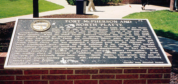
Nebraska Historical Marker: Fort McPherson and North Platte
Location
Rural Interstate 80, Brady, Lincoln County, Nebraska
View this marker's location 41.036072, -100.4669
View a map of all Nebraska historical markers, Browse Historical Marker Map
Marker Text
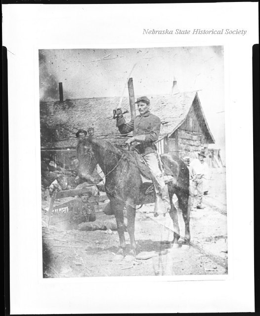
A few miles west of here on the south side of the Platte River is the site of Fort McPherson, 1863-1880. During the Indian troubles of the middle 1860's, troops of the post were occupied in keeping the telegraph lines in operation and the mail and stage lines running. When the Union Pacific Railroad reached this area in late 1866, the military played an important role in guarding construction crews. Early in 1867 the town of North Platte was established fifteen miles west of the fort. The town was located on the watershed just above the confluence of the North and South Platte Rivers, and was designated a division point for the railroad. Two brick roundhouses were among the first buildings in the village. Many frontier and military figures are important in the history of both the fort and the town. Although the fort was totally razed after its abandonment, the Fort McPherson National Cemetery is located on a part of the old military reservation. It is the resting place of hundreds of soldiers from various western military posts, as well as servicemen from later wars. North Platte, now grown into one of Nebraska's major trading centers, still retains a lively interest in the exciting history of the region.
Further Information
Bibliography
Marker program
See Nebraska Historical Marker Program for more information.

