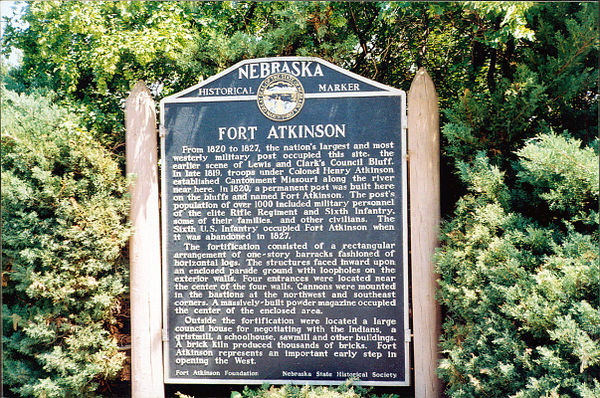
Nebraska Historical Marker: Fort Atkinson (1)
Location
Fort Atkinson State Historical Park near Fort Calhoun, Washington County, Nebraska
View this marker's location 41.4522, -96.01353
View a map of all Nebraska historical markers, Browse Historical Marker Map
Marker Text
From 1820 to 1827, the nation's largest and most westerly military post occupied this site, the earlier scene of Lewis and Clark's Council Bluff. In late 1819, troops under Colonel Henry Atkinson established Cantonment Missouri along the river near here. In 1820, a permanent post was built here on the bluffs and named Fort Atkinson. The post's population of over 1,000 included military personnel of the elite Rifle Regiment and Sixth Infantry, some of their families, and other civilians. The Sixth U.S. Infantry occupied Fort Atkinson when it was abandoned in 1827.
The fortification consisted of a rectangular arrangement of one-story barracks fashioned of horizontal logs. The structures faced inward upon an enclosed parade ground with loopholes on the exterior walls. Four entrances were located near the center of the four walls. Cannons were mounted in the bastions at the northwest and southeast corners. A massively-built powder magazine occupied the center of the enclosed area.
Outside the fortification were located a large council house for negotiating with the Indians, a gristmill, a schoolhouse, sawmill and other buildings. A brick kiln produced thousands of bricks. Fort Atkinson represents an important early step in opening the West.
Further Information
Bibliography
Virgil Ney, “Prairie Generals and Colonels at Cantonment Missouri and Fort Atkinson,” Nebraska History 56 (1975): 51-76
Sally A Johnson, “Fort Atkinson at Council Bluffs,” Nebraska History 38 (1957): 229-236
Marker program
See Nebraska Historical Marker Program for more information.

