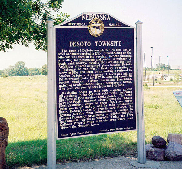
Nebraska Historical Marker: Desoto Townsite
Location
Power Ln, Blair, Washington County, Nebraska
View this marker's location 41.512726, -96.08009
View a map of all Nebraska historical markers, Browse Historical Marker Map
Marker Text
The town of DeSoto was platted on this site in 1854 and incorporated in 1855. Steamboating on the Missouri was then in its heyday. DeSoto provided a landing for passengers and goods. A number of boats sank nearby, notably the Cora and Bertrand. Ambitious citizens advanced plans to make DeSoto a "gateway to the West" - first by operating a ferry in 1857 and later by promoting a railroad to connect DeSoto with Fremont. A track was laid as far as present Blair. By 1857 DeSoto had grown to several hundred. Fifteen businesses flourished, including hotels, saloons, stores, newspapers, banks. The town was county seat from 1858 to 1866. Its decline began in 1859 with a great exodus of residents to the Colorado gold fields. Following the Panic of 1857 its three banks closed. The Sioux City and Pacific Railroad, after buying the DeSoto line's franchise, chose to cross the river three miles north of DeSoto and in 1869 established Blair. DeSoto's hopes for growth were blasted. Its citizens left for other communities, a number to become figures of prominence in judicial, political, and financial circles in Nebraska. Today the Fort Calhoun Power Station is in the area where once flowed the Missouri River.
Further Information
Bibliography
Elton A. Perkey, “Perkey’s Nebraska Place Names” (1995), Nebraska State Historical Society
Marker program
See Nebraska Historical Marker Program for more information.

